The Conestoga Trail is a little known trail in PA that is 63 miles long, starting in Furnace Hills, PA where it meets the Horseshoe Trail and goes to York, PA where it meets the Mason-Dixon Trail. It is considered an endangered trail because big sections of the northern part of the trail have been rerouted onto roads due to landowners revoking trail access. I can’t say that I blame them – on the one hand I want people to get outside and explore, but on the other I’m not so sure I would want people trampling through my private property either. I can see both sides.
While the southern most section of the trail is considered the most scenic, I decided I was going to do the whole thing in sections- why not? 🙂
I began with the on road section of the trail (Which is near the end of section A of the trail guide) as it is hunting season and a big portion of the start of the trail is closed until hunting is over – this way I could get the “boring” on road section of the trail out of the way first while the days are still nice. I found out this section is ANYTHING but boring. While some of the roads are fairly busy (which is why I decided to bike it instead of walk), the views of farmlands, animals and covered bridges were amazing – good old Lancaster County! This section of the trail is a little hilly with one section I had to get off and push my bike up – it was steep even to walk it! The only other thing besides cars you need to watch out for on the trail were the road apples which if you are from PA you will know this is a nice way to say horse poop from the Amish horse and buggies. 🙂

I was dropped off at Hoover’s Farm Market on Erbs Bridge Road (which is just down a bit from where the on road section of the trail starts) and picked up at the Speedway Gas Station at the intersection of 272 and 722 (THANKS DAD!) then met my family for lunch at Oregon Dairy – I honestly could have rode there, but on my map it looked farther away and it’s on a fairly busy road – it probably would have taken me a minute or 2 to get there – haha! Well now I know for next time!


I will hike the 1st section of this trail when hunting season is over and also continue south from the gas station where I stopped to the end – a little out of order, but who says it has to be done from start to finish? 🙂
Thanks to the Lancaster Hiking Club for maintaining this trail!
Here are the instructions for the section I did from the official web site:
(I don’t see it listed on the web site, but you have to make a Rt onto Cocalico Creek Road after the 2nd time you are on Millway Road – I believe this is mile 13.something. You have to make a right or left here anyway and this entire section was very well marked so you won’t miss it!)
| 11.06 | Erb’s Bridge Road and Erb’s Covered Bridge, turn right-NOT thru covered bridge. (Beginning of “on-road” segment)
[Erb’s Covered Bridge was built in 1887, is 80 feet long and spans Hammer Creek.] |
| 11.25 | Left on Millway Road.(Warwick Township |
| 11.80 | Turn right onto Meadow Valley Road |
| 11.99 | Left at Cocalico Road |
| 12.20 | Hammer Creek empties into Cocalico Creek |
| 12.58 | Left on Rothsville Road, cross bridge and turn right on Millway
Road. [Just beyond intersection notice waterwheel in creek. It pumps well water at the house.] |
| 13.99 | [Just beyond intersection notice waterwheel in creek. It pumps well water at the house.] |
| 14.61 | Cross Newport Road with care (Route 772). |
| 15.18 | Turn right at Rose hill road.. |
| 15.51 | Right at Log Cabin Road, through Rosehill/Wengers/Zooks Mill Covered Bridge. Climb hill leaving Cocalico Creek.
[This covered bridge is referred to locally as The Log Cabin Covered Bridge. Built in 1849, it is the oldest covered bridge on the CTS. It spans the Cocalico Creek and is 89 feet long.] The bridge was rebuilt in 2009 to repair rot and flood damage. |
| 16.50 | Turn left on Becker Road. |
| 18.61 | Left on Oregon Road |
| 18.67 | Carefully cross busy Oregon Pike (Rte 272).Continue along short segment of Oregon Road. |
| 18.74 | Turn right on Bushong Road. End of Section “A”. |

So many covered bridges! I am in love! Looks like I need to make it out to Pennsylvania one day 🙂 thanks for posting!
LikeLiked by 1 person
Thanks for reading! 🙂 the next on road section has even more I believe! I can’t wait to see them!
LikeLike
“Road apples”? That is hilarious! PA is so pretty, thanks for sharing your lovely pictures 🙂
LikeLiked by 1 person
I have done four rail to trail rides in PA. The GAP/Montour and Pine Creek
LikeLiked by 1 person
I am hoping to do pine creek next yr!! 🙂
LikeLike
p.s The GAP twice which makes 4.
LikeLiked by 1 person
Got ya! Haha!
LikeLike
pp.ss. PA is a sweet place to ride. Leaving comments half asleep too early in the morning leads to lots of pea esses.
LikeLiked by 1 person
Hahaha-no worries! Thanks for reading!! 🙂
LikeLike
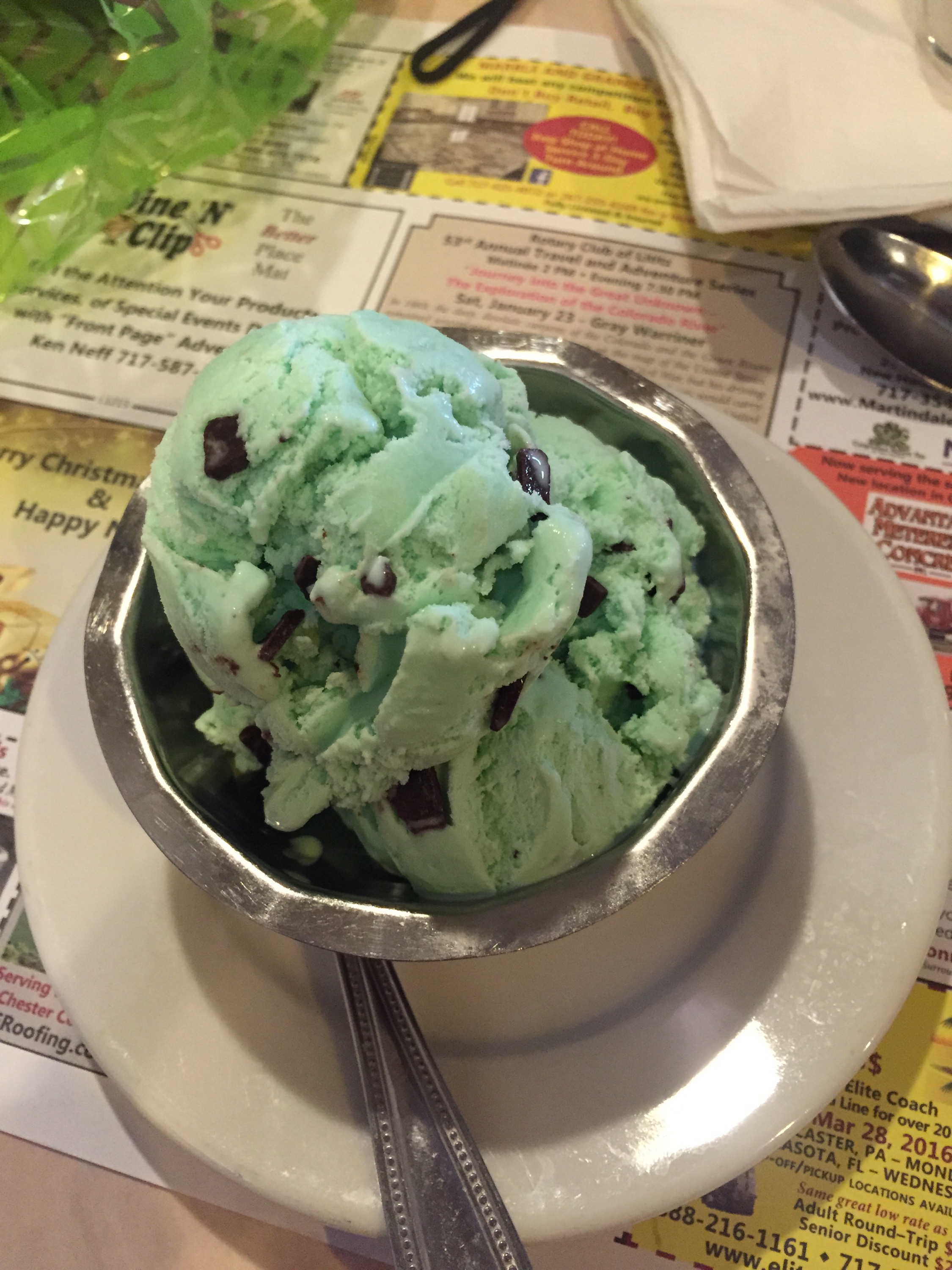
Great post! Thanks for sharing your little part of the world for others to see! Loved the pictures also! Wish I had some ice cream after my adventure yesterday, although it was a bit chilly out on the water! Have a great week! 🙂
LikeLiked by 1 person
Thanks for reading! Ya I was a little chilly yesterday as well- I should have STARTED with ice cream and ended with hot cocoa! Haha! 🙂 hope you have a nice week too!! 🙂
LikeLiked by 1 person
I definitely ended with hot coco, and a ‘smidge’ of baileys! lol. I got a little wet, (details to follow in my post) so it didn’t help much, but still for December, I’ll take it! 🙂
LikeLiked by 1 person
Can’t wait to read it! 🙂
LikeLiked by 1 person
PS: I’ve found gloves that actually work! Sooo happy! Stay tuned or DM me and I’ll share with you! 🙂
LikeLiked by 1 person
YAY!!!! That’ll be interesting cuz I have never found a pair that works! Haha! 🙂
LikeLiked by 1 person
This doesn’t look boring at all – and it’s pretty close to my husband’s family. Perhaps once it warms up, we will try it (though I am still voting for exploring the abandoned turnpike tunnels first!).
LikeLiked by 1 person
Oh I always wanted to explore the abandoned turnpike– but I never think about it! Haha! Too many places to explore- I will have to remember to go there sometime! 🙂
LikeLiked by 1 person
I’ve been dying to check it out. We’ll get there sometime, if only because we talk about it so much, we’re going to get tired of just talking eventually!
LikeLiked by 1 person
LOVE these Lancaster County pics- the farms and bridges are gorgeous! Doesn’t look boring at all!
LikeLiked by 1 person
It was beautiful- I was really glad I biked it- there’s gonna be even more covered bridges in the next section I do- thanks for reading!! 🙂
LikeLiked by 1 person