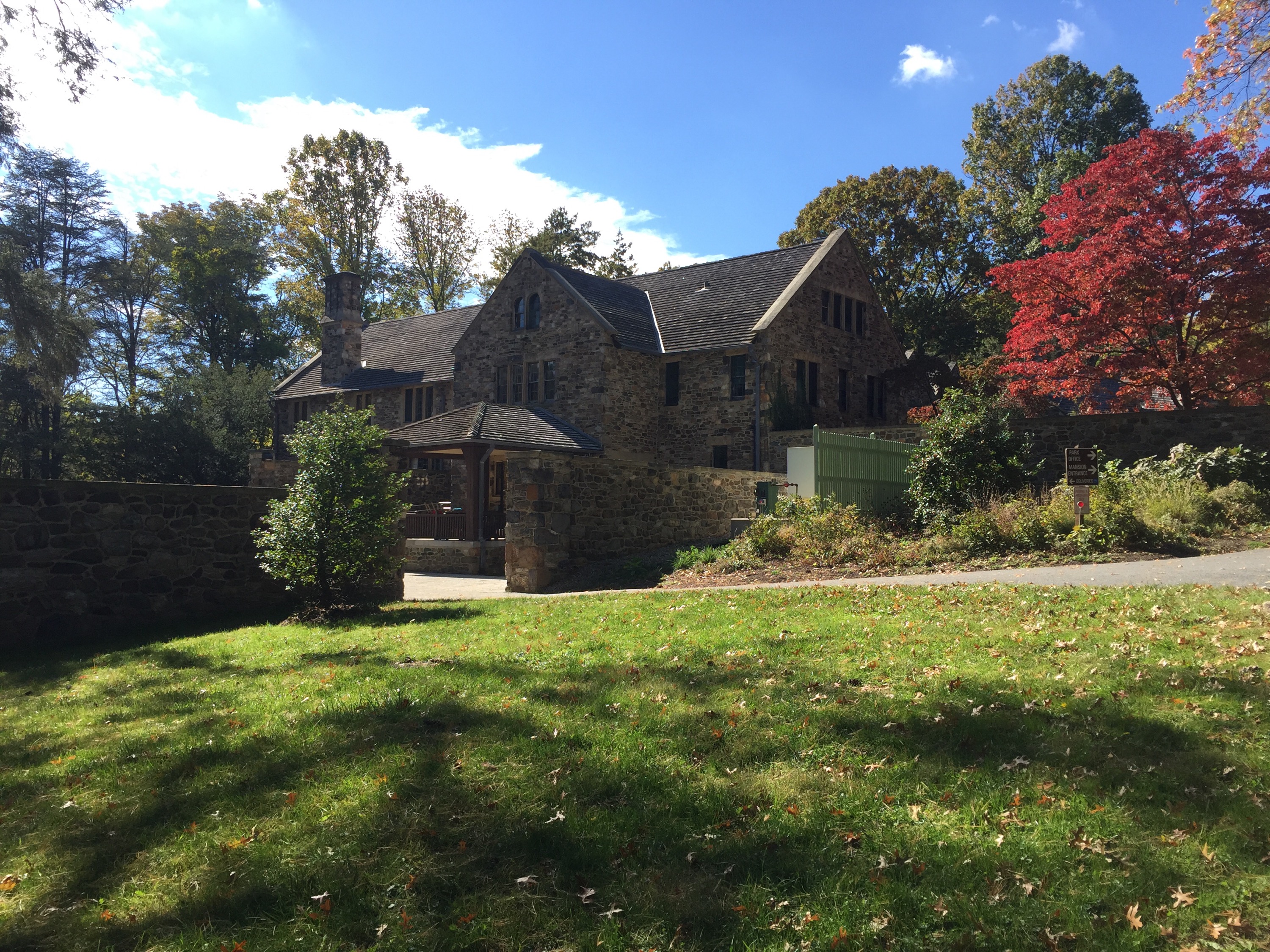
It was a beautiful day so I decide to go hiking – JoJo and I headed over to Ridley Creek State Park in south eastern PA. I have only hiked there one other time YEARS ago. There is a beautiful mansion that has been converted into the park office. I figured today was a perfect day to check out the mansion and the trails again.
We got there a lot later than expected due to a TON of construction on some of the roads to the park. I was trying to listen to my audiobook (The Martian) but couldn’t really hear it because the GPS would cut it off to tell me directions – so sadly I couldn’t finish my book – oh well!
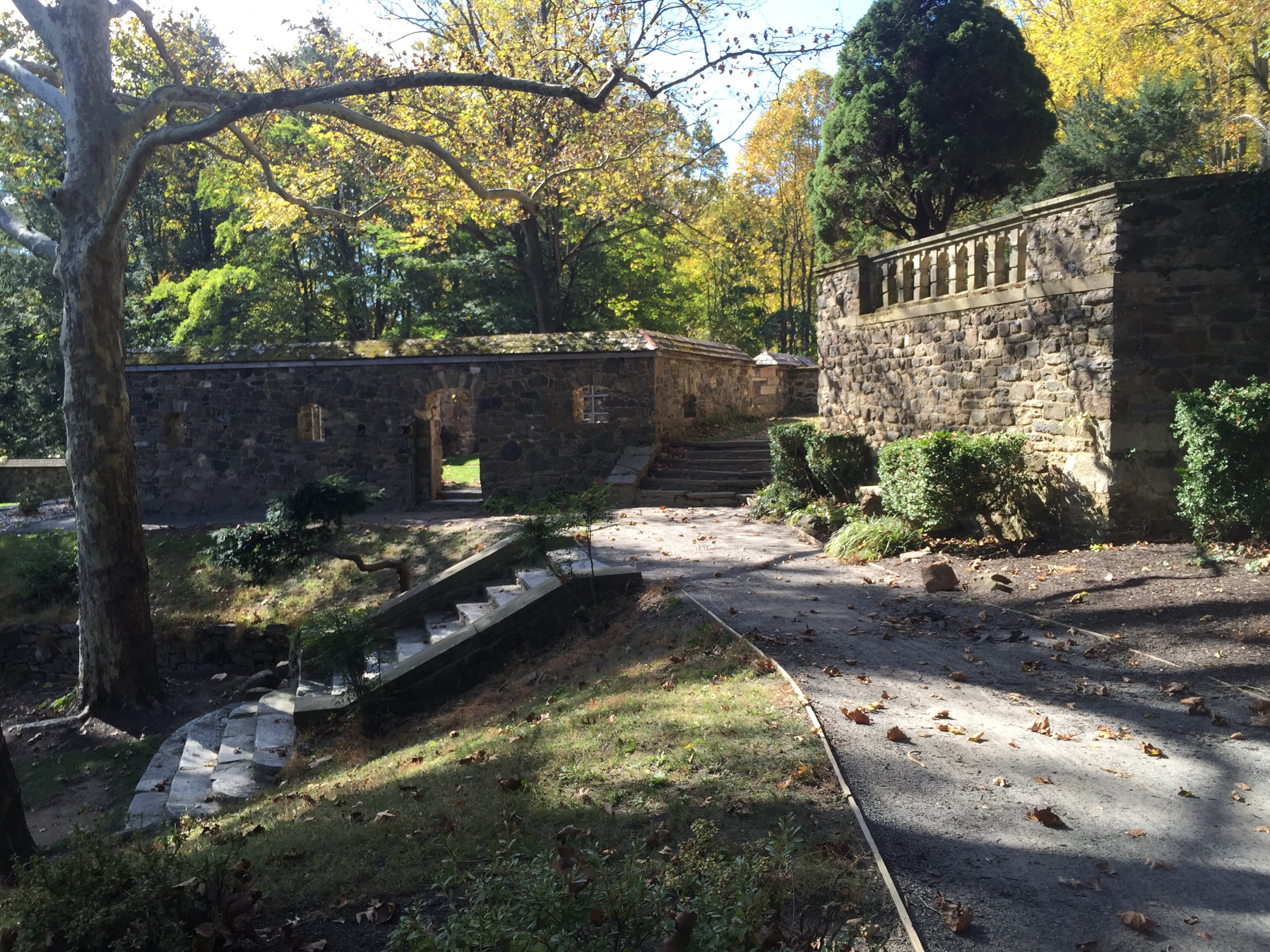
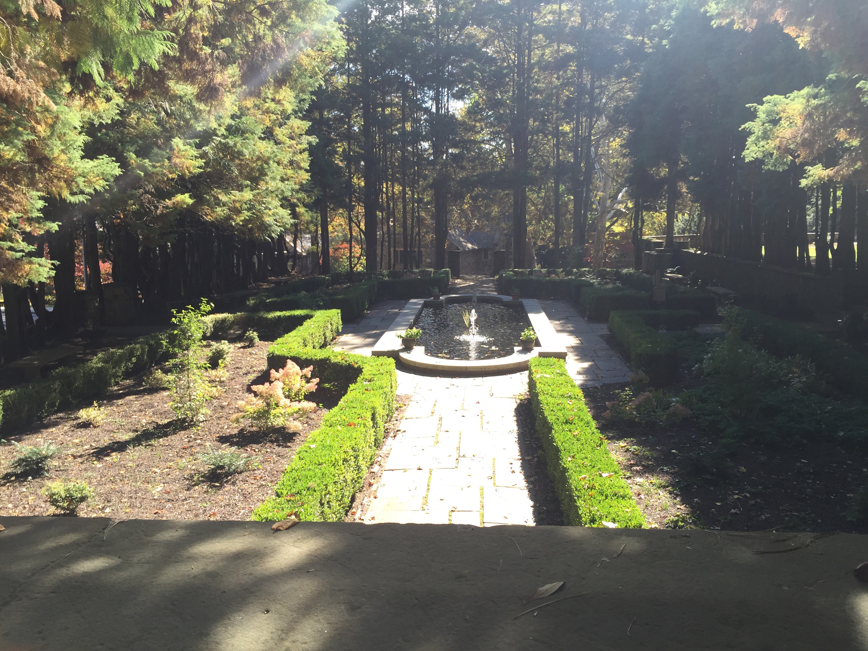
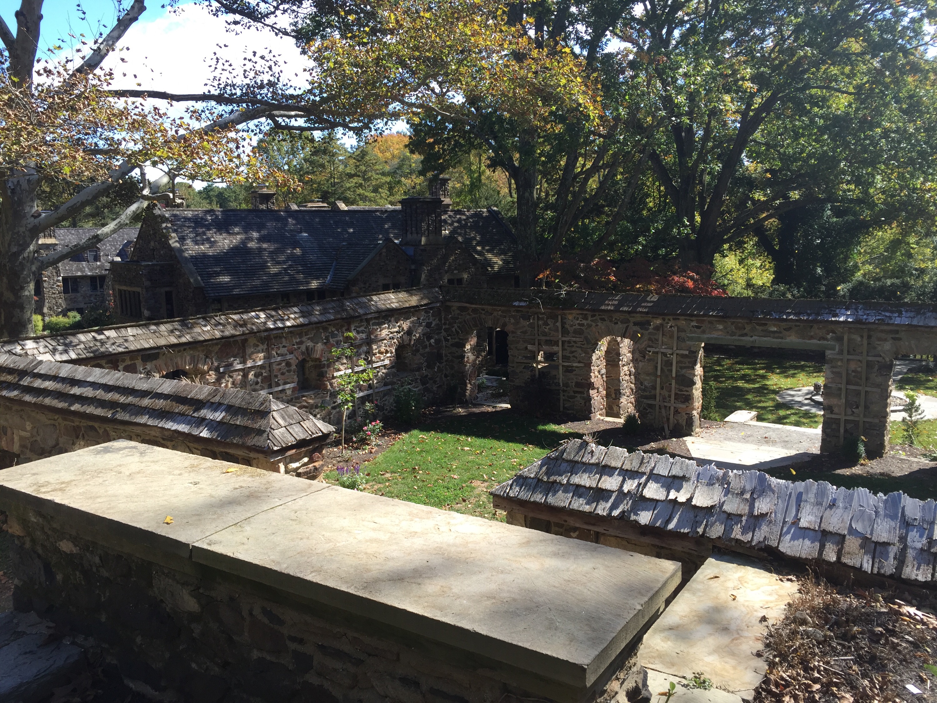
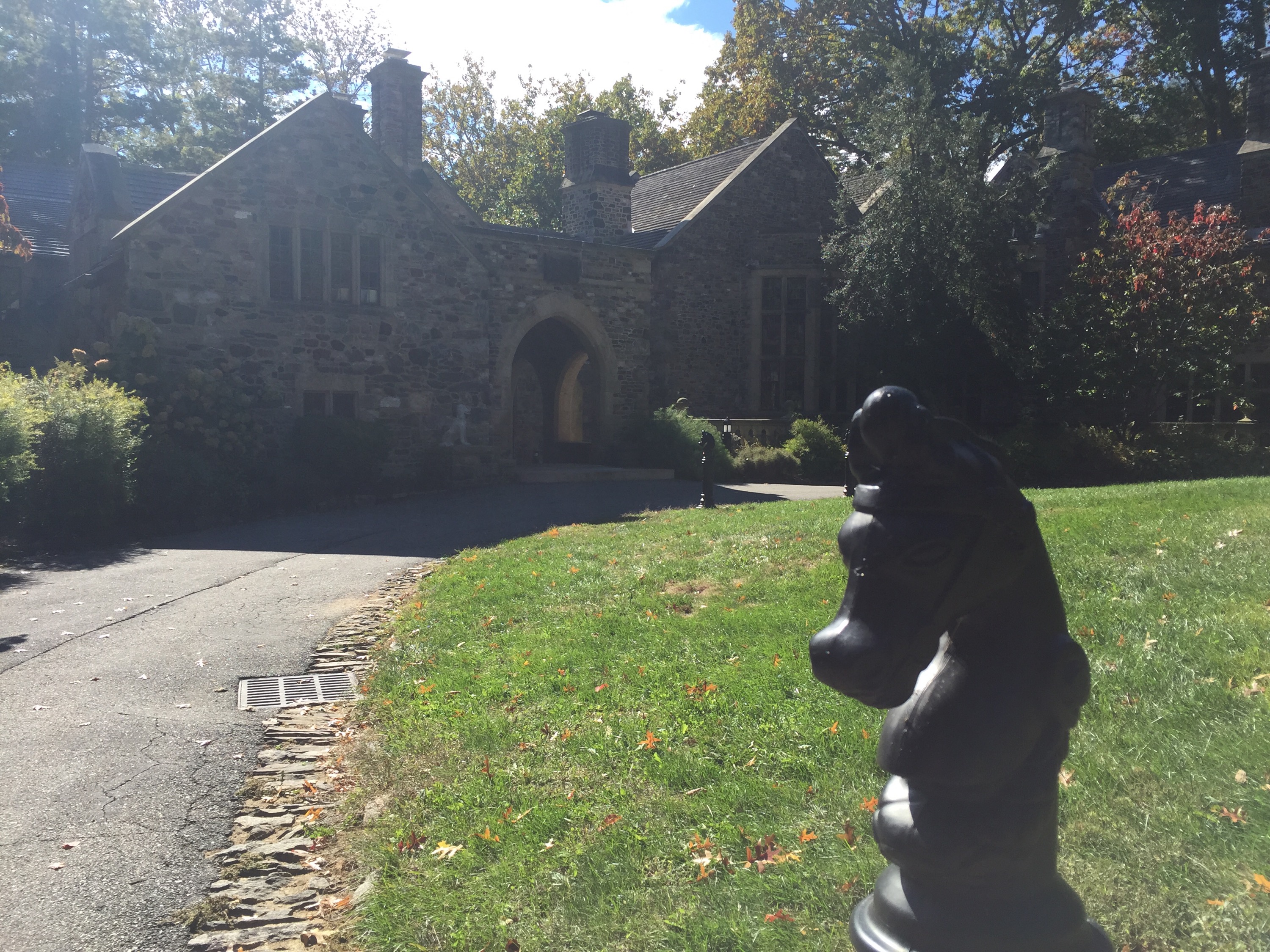
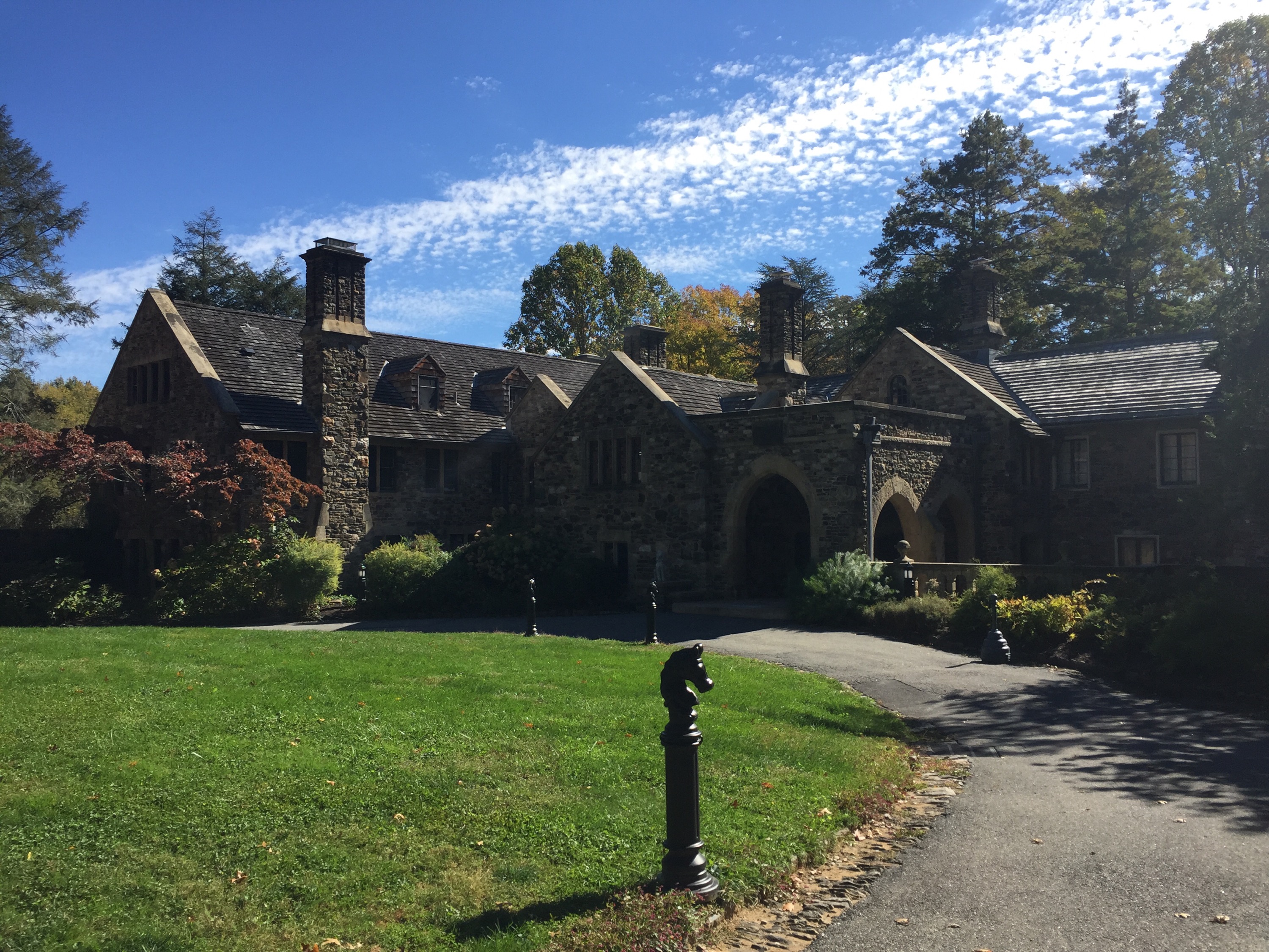
We stopped to check out the mansion/park office first. It was as lovely as I remembered it! The stone walls around the yard which contained formal gardens and fountains were amazing to look at! I can’t even imagine that people used to live in such a lovely place!


After we checked out the gardens and walked around the perimeter of the mansion, we jumped back in the car and headed over to parking lot #17 which was where we would start our hike.
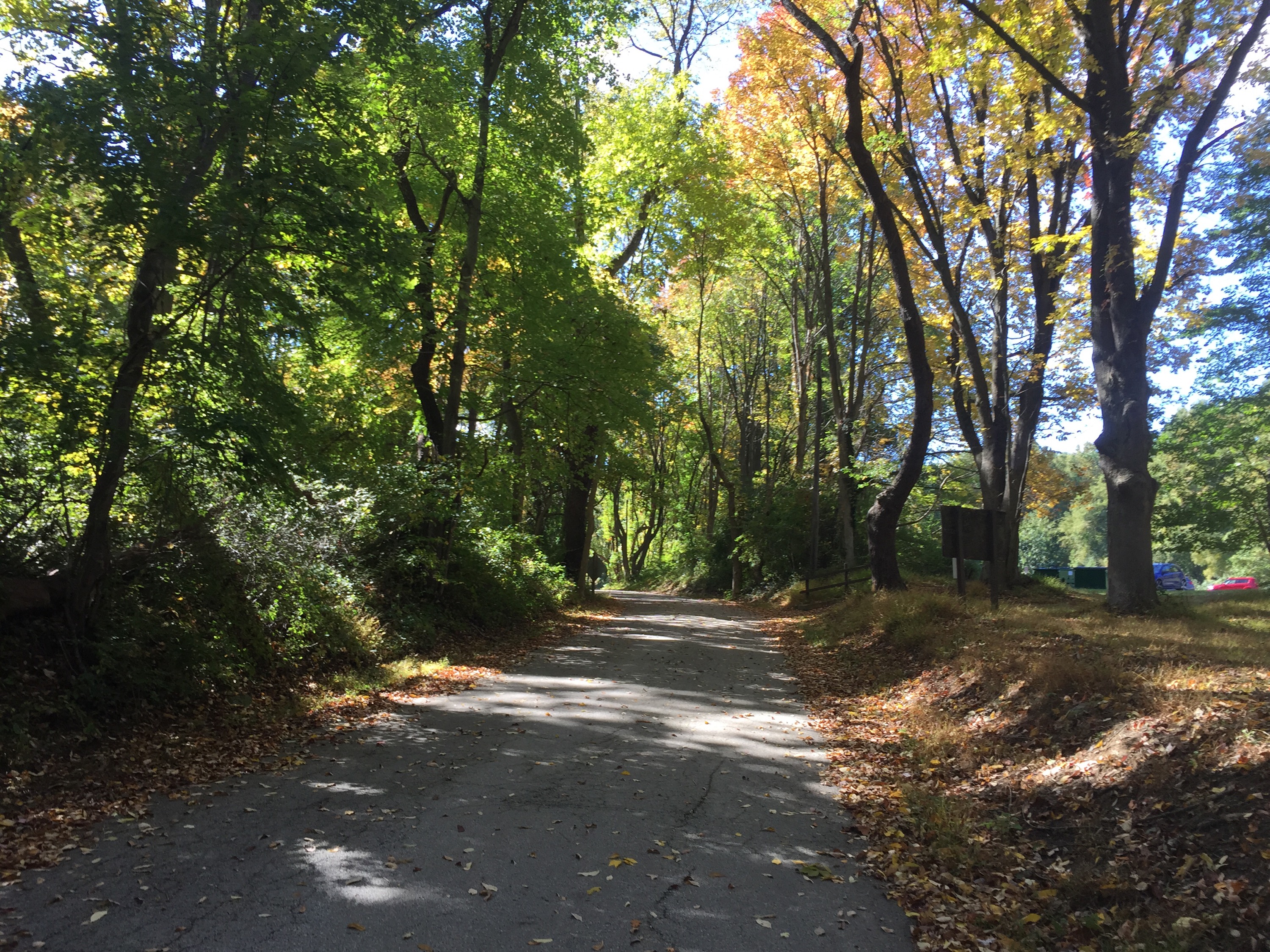
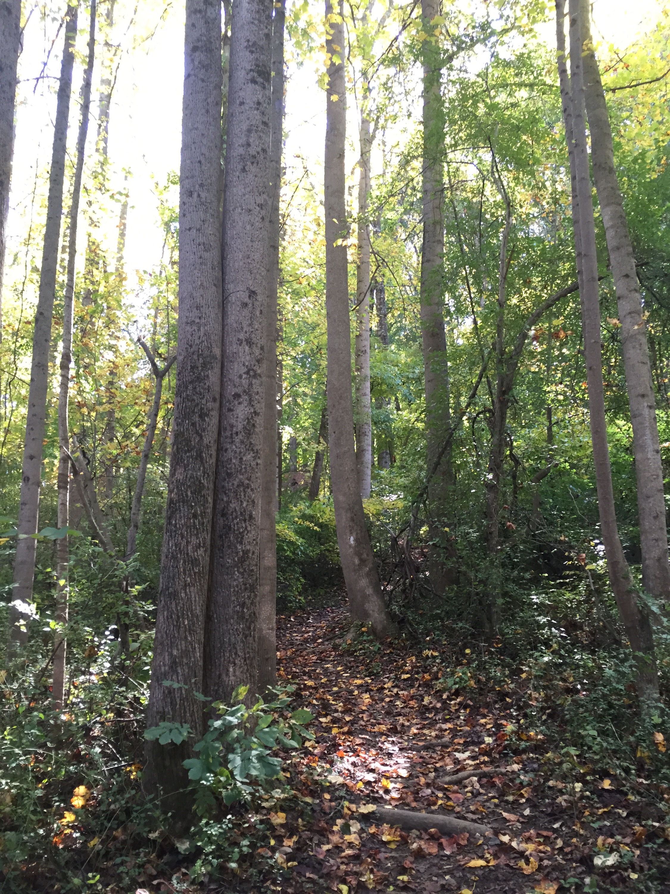
We found our way to the white trail and followed that – it was about 5 miles in total.
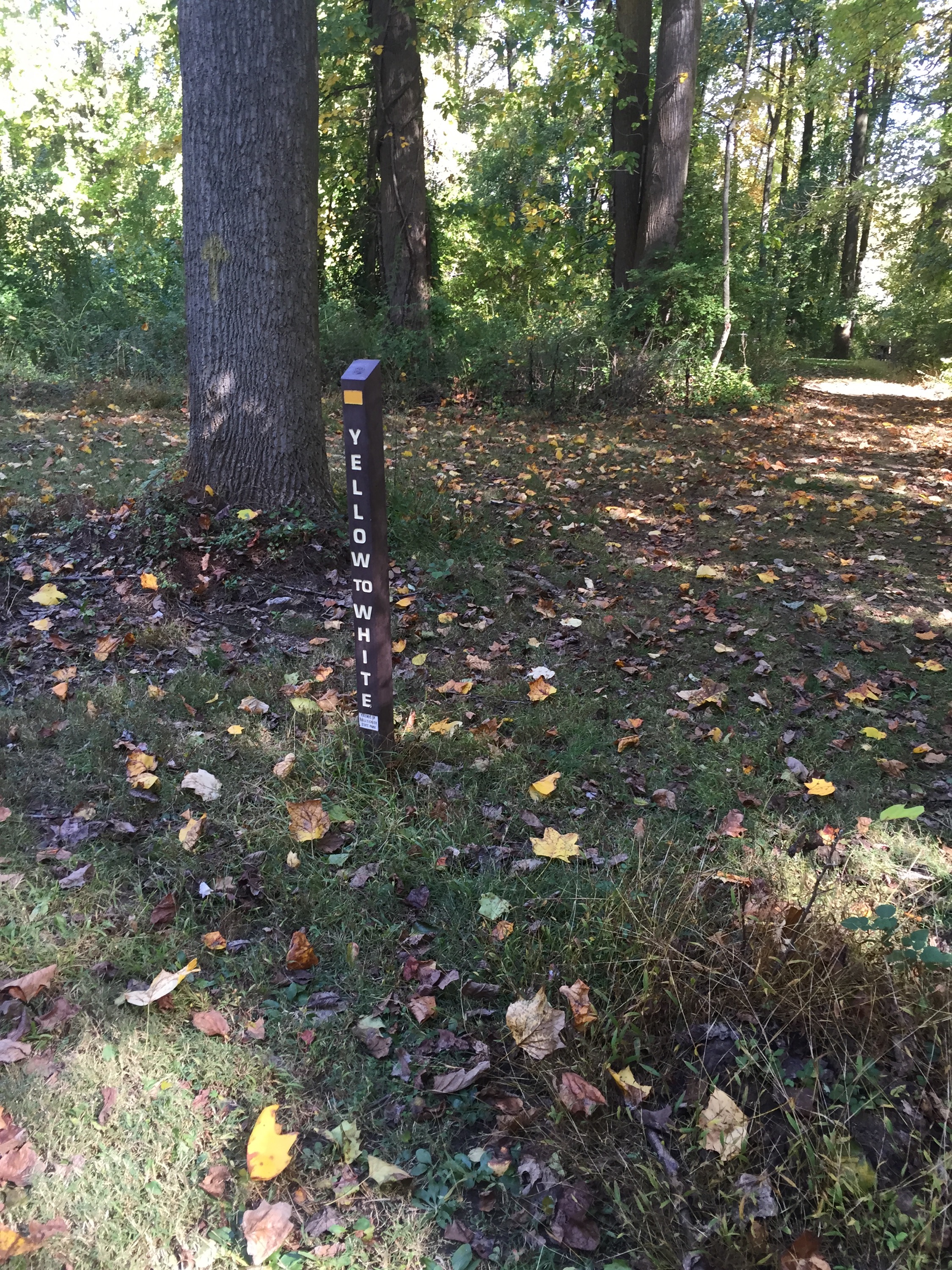 There were some VERY confusing intersections where we lost the trail for a bit – especially over a few road crossings. It definitely could have been marked better. The blazes on the tree were pretty faint too. I brought a map I took from the park office and I was using the MapMyWalk app – luckily! I had to compare the 2 to make sure I was on the right track several times.


We hiked the loop counter clockwise – it seemed as if it was all downhill at first. I thought, ‘Oh great – that means it’ll be all uphill at the end.’ It actually wasn’t like that at all – while it was a steep downhill in the beginning, the rest of the trail was gradual ups and downs. After looking at the elevation profile on MapMyWalk, I was really glad I did the loop counter clockwise! The trail had a few rocks here and there, but for the most part it was really nice to hike on – I can see why people like to trail run there!


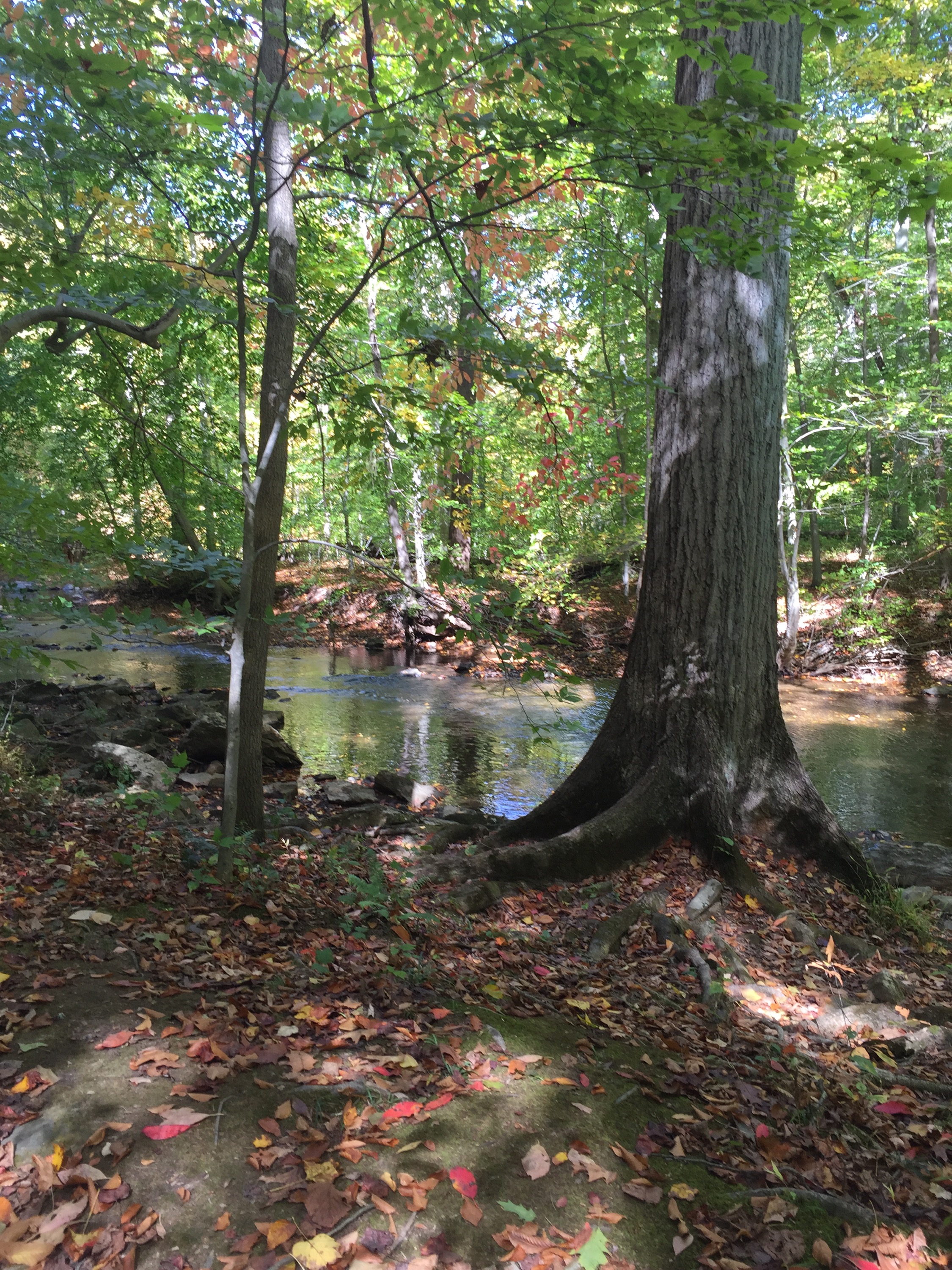
The trail follows Ridley Creek for a short time – I LOVE hiking by the water.


At a confusing spot, there was a white arrow painted on a tree pointing to the right – there was a narrow trail going in that direction, but also a trail going straight and to the left. We followed the blaze and it took us to a little tunnel thing that went under the multi use trail. It was very overgrown in that area. As I stood there wondering aloud about where the trail went and “Are we really supposed to go through that? It looks too low! There is a ton of weeds to walk through – that can NOT be the trail, can it?” and blah blah blah, I look up to see an older man walking along the multi use trail looking at me like I’m a complete lunatic. I just shrug and say, “OH! haha – Just talking to my dog.” He nods and says, “I talk to mine too!” 🙂 hahaha I don’t think he could see Jo at first because the brush was so high, but I was glad I started chatting to him because when I looked up I noticed a blaze across the street! So we didn’t have to go in that tunnel after all! We also could have just gone straight where the blaze pointed right. When we crossed the road I didn’t see where the narrow trail would have come out from under the tunnel, so I was really glad we didn’t try to take that! I didn’t snap a pic of the tunnel as I was slightly embarrassed at being caught talking to myself/JoJo. 🙂
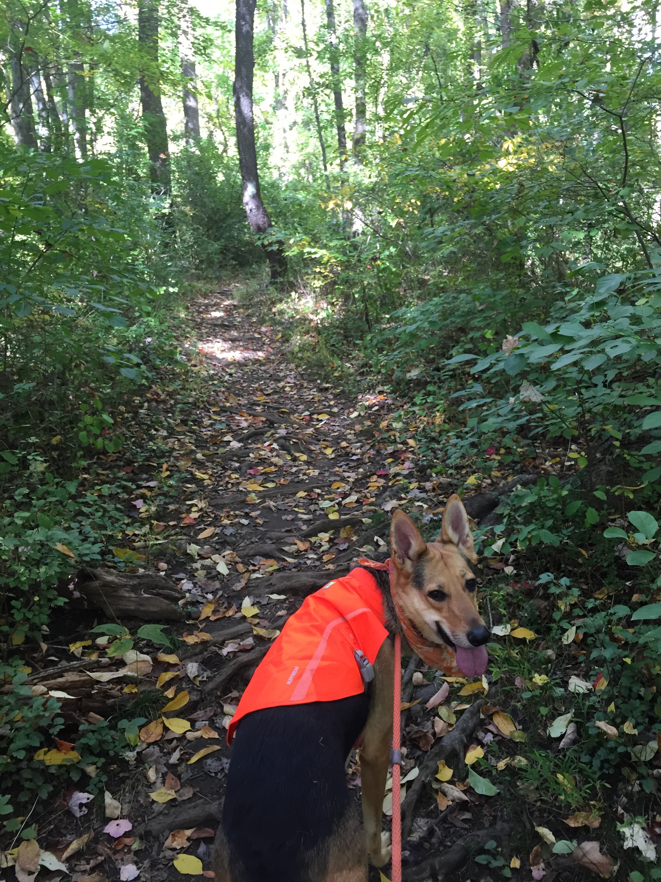 We made it back to the car after a few more confusing spots – I would basically check the map and make the best guess I could, start down the trail and hope to see a white blaze. You really had to keep an eye out for them as they were either faded or non existent, but it was a fun hike on a new trail! I am hoping to go back sometime to see if I can explore the inside of the mansion!
Happy Trails! 🙂

I love this post! Great job! So many wonderful pictures. Looks like a wonderful place to visit and hike. Don’t you hate when trails aren’t marked properly! I get so confused. i got the Bruce Trail app for $20 a few days ago and hiked 35 km’s this past weekend! So happy I paid for that app. Totally worth it. What is this Map my walk app you refer to? Is that an american app that you use for trails there? CamperChristina 🙂
LikeLiked by 1 person
MapMyWalk is an app for iPhone that uses GPS to track your workouts – it’s awesome – it tracks my location, tells me how many calories I burn, tracks elevation, etc. I can change the activity to hike, bike, yoga, – pretty much anything! I like it because as it’s tracking me I can compare it to a map if I have one to make sure I’m on the right track. The app itself doesn’t have any trail maps loaded on it, just shows your location. It’s pretty useful! Thanks for reading! 🙂
LikeLiked by 1 person
Sounds very cool! I will have to see if I can get it for my phone here in the great white north (lol-jk). Thanks so much for the information and for telling us about it! cheers!
LikeLiked by 1 person